India is experiencing rapidly changing weather patterns. Amidst the scorching May heat, the Indian Meteorological Department (IMD) has confirmed pre-monsoon activities across various parts of the country. Western disturbances and cyclonic winds are causing significant weather variations from North to South India.
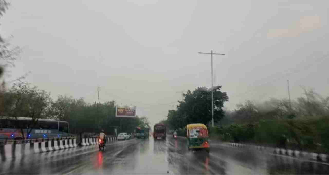
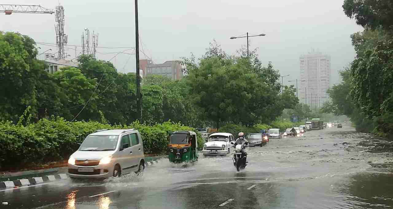
Weather Update: Many states, including Delhi-NCR, are currently experiencing a series of thunderstorms and rainfall, providing much-needed relief from the intense heat. The IMD has issued a new weather forecast for the next 24 hours. According to the IMD, heavy rain, thunderstorms, and b winds are likely in northwest, central, east, and parts of south India due to western disturbances and cyclonic systems.
However, some states will continue to experience heatwaves. A heatwave warning remains in effect for areas such as eastern Uttar Pradesh, Bihar, Jharkhand, and Odisha.
Light Rain and Strong Winds Likely in Delhi-NCR
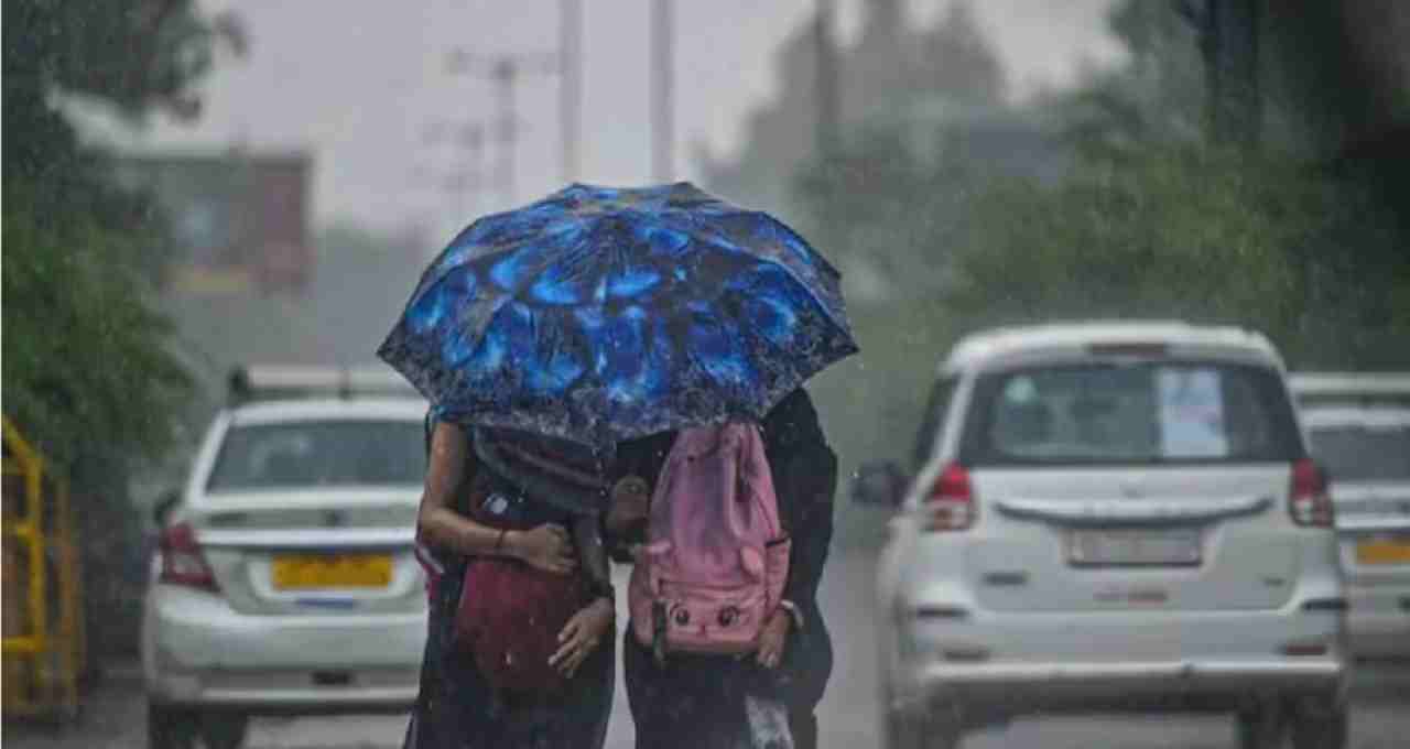
Partly cloudy skies are expected in the national capital Delhi and surrounding areas on Monday. According to the weather department, light rain or drizzle accompanied by dust storms is possible. Winds could gust at 30-40 km/h, reaching up to 50 km/h in some areas. This will lead to a slight drop in temperature. The maximum temperature is expected to be between 36-38°C and the minimum between 25-27°C. A yellow alert has been issued.
Strong Winds Threaten Punjab and Haryana
The impact of the western disturbance will be clearly felt in Punjab and Haryana. A yellow alert has been issued for these states. Winds could reach speeds of 40-50 km/h. A slight drop in temperature is anticipated, with maximum temperatures around 37°C and minimum temperatures around 24°C.
Rajasthan Faces Double Threat of Heat and Dust Storms
Rajasthan is expected to experience contrasting weather conditions. While the heatwave in western Rajasthan may ease slightly, temperatures in the eastern parts could reach 40-42°C. Some districts may experience dust storms with speeds of 50-60 km/h and light rain. A yellow alert has been issued due to the dusty winds.
Rain Continues in Uttar Pradesh and Bihar
Thunderstorms are likely in several parts of Uttar Pradesh, including Lucknow, Kanpur, Agra, Gorakhpur, and Azamgarh. Hailstorms are also possible in some areas. Winds could reach 30-40 km/h. The maximum temperature is expected to be around 39°C and the minimum around 24°C. Bihar is also expected to experience deteriorating weather conditions with thunderstorms, lightning, and b winds (50-60 km/h) accompanied by rain. A yellow alert is in effect.
Warning of Snowfall and Strong Storms in Mountainous States
Light to moderate rain and snowfall are expected in the higher altitudes of Himachal Pradesh, Uttarakhand, and Jammu & Kashmir. The weather department has issued an orange alert for these states. These areas may experience stormy winds (50-60 km/h) and hail.
Mixed Weather in Central India, Active Clouds in South India
Madhya Pradesh will experience varied weather conditions. The eastern parts are expected to see thunderstorms, while the western regions will continue to experience a heatwave, with temperatures potentially reaching 42°C. Chhattisgarh may also experience b winds (40-50 km/h) and light rain. Jharkhand also has a yellow alert for rain and b winds.