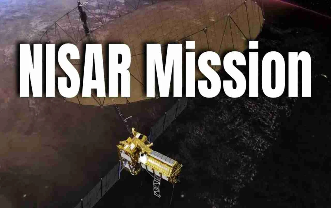
This is a joint mission of NASA and ISRO – the NISAR mission, which stands for NASA-ISRO Synthetic Aperture Radar. This mission will closely monitor Earth's changing conditions, such as glacier melting, deforestation, earthquakes, volcanic activity, and changes in sea level – significant environmental changes.
Mission NISAR: In the future, people may receive warnings before earthquakes, landslides, and marine storms. This will be thanks to the ambitious satellite mission "NISAR," jointly developed by India's space agency ISRO and America's NASA. This mission will not only provide early warnings of disasters but will also closely monitor Earth's changing structure and environmental changes. This project is being viewed as one of the most revolutionary weapons to fight future natural disasters.
What is the NISAR Mission?
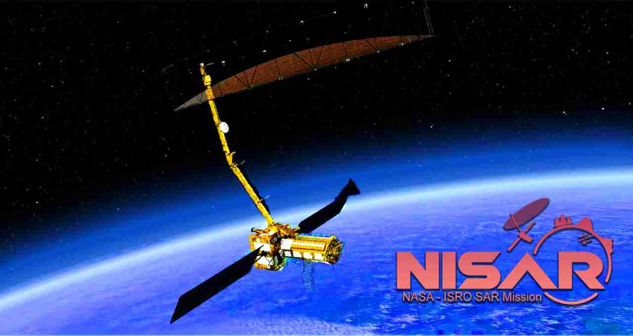
NISAR (NASA-ISRO Synthetic Aperture Radar) is an advanced radar imaging satellite that will be deployed in Low Earth Orbit (LEO). The primary objective of this satellite is to monitor geographical, ecological, and climate-related changes occurring on the Earth's surface. Its most remarkable aspect is its ability to scan the entire globe every 12 days, registering even the slightest changes in any area.


NISAR is being jointly built by ISRO and NASA. NASA has built the L-band radar and its systems, while ISRO is responsible for the S-band radar, the satellite bus, and the launch. The satellite will be launched using India's GSLV rocket, currently planned for early 2025.
Why is this Mission Special?
The most significant feature of the NISAR mission is its Synthetic Aperture Radar (SAR) technology, capable of capturing clear images of the Earth even in the presence of clouds, darkness, or any weather conditions. It will be used to monitor changes in mountain heights, pre-earthquake fissures, glacial melting, fluctuations in water levels, and even groundwater levels.
As a future disaster warning system, NISAR will inform scientists about areas where ground movement has begun. This means that if a major earthquake is imminent, the satellite will record the preceding geological movements, allowing scientists to decode them and provide information about potential dangers.
How will it work?
NISAR has two primary radar systems:
- L-band: This NASA-built system will monitor changes occurring deep within the Earth.
- S-band: This ISRO-developed system will analyze surface changes such as vegetation, agricultural land, and soil moisture.
These two bands will work together to create 3D mapping, providing scientists with detailed data on the most sensitive parts of the Earth. The satellite will collect terabytes of data daily, which will be analyzed at scientific centers in India and the United States.
What Hazards will be Tracked?
- Pre-earthquake movements
- Volcanic activity
- Ice calving
- Sea-level rise
- Landslides and landslide-prone areas
- Coastal erosion
- Large-scale deforestation
Why is this Mission Important for India?
India is seismically sensitive, with frequent earthquakes in the Himalayan region and the northeast. Coastal states also face the constant threat of cyclones and marine storms. The NISAR mission will help India provide early warnings of disasters and revolutionize disaster management.